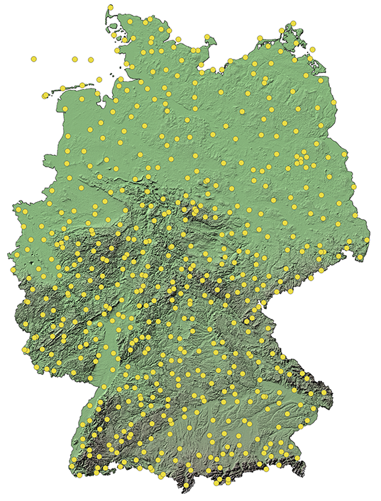
Our focus is usually Germany and Europe, but we also use data sets with global coverage. Our meteorological database mainly contains data from the following institutions:
- German Weather Service (DWD)
- European Center for Medium-Range Weather Forecasts (ECMWF)
- National Oceanic and Atmospheric Administration of the USA (NOAA)
- Canadian Meteorological Center (CMC)
- National Weather Service of Great Britain (MetOffice)
Individual use of weather data
The above-mentioned weather data can be combined, optimized, and provided precisely for your desired requirements. When developing, testing, and calibrating, we consider your wishes in order to generate the greatest possible benefits for you.
We are able to provide holistic support for the development of your innovative products and projects, from the initial idea through to the final realizaton. We can work closely with you to ensure that your application-oriented ideas can be profitably incorporated into the project.
The optimized historical weather data can be provided in a variety of formats, depending on your needs. You can choose whether you want to obtain individual locations, regions or entire model areas.
Spatial resolution, long-term corrections, and calibration of model outputs
In addition to the spatial and temporal interpolation of weather data (e.g. with kriging), we also deal with the optimal combination of different data sources. For example, GIS data provides valuable information on terrain, which can be used to increase the spatial resolution of numerical weather data.
Long-term corrections and calibrations of model outputs using the latest artificial intelligence methods are also part of our portfolio. We are happy to extend this to solve your individual problems, for example on topics such as precipitation or temperature forecasts or, in connection with the more and more weather driven energy system e.g., wind and solar forecasts.
ICON-EU and ICON-D2
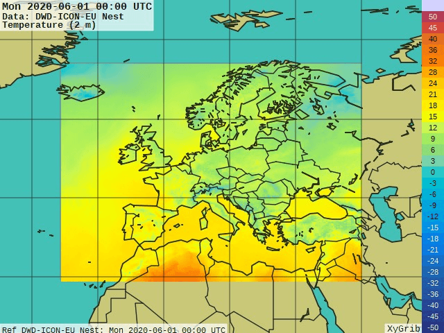
Numerical weather forecasts from the German Weather Service, such as the European model ICON-EU, offer large-scale coverage and at the same time a higher spatial resolution compared to the global model ICON. In addition to ICON-EU, the regional model ICON-D2 with an even higher spatial resolution is also used. The model's mesh network covers all of Germany, Switzerland, Austria, the Benelux countries, and parts of other neighboring countries.
The high resolution of weather data from various sources such as ICON-EU and ICON-D2 means that precise forecasts and station measurements can be determined for your project.


